These drone images help farmers and agricultural businesses make better-informed decisions about crop management, irrigation, and fertilisation.

How it works
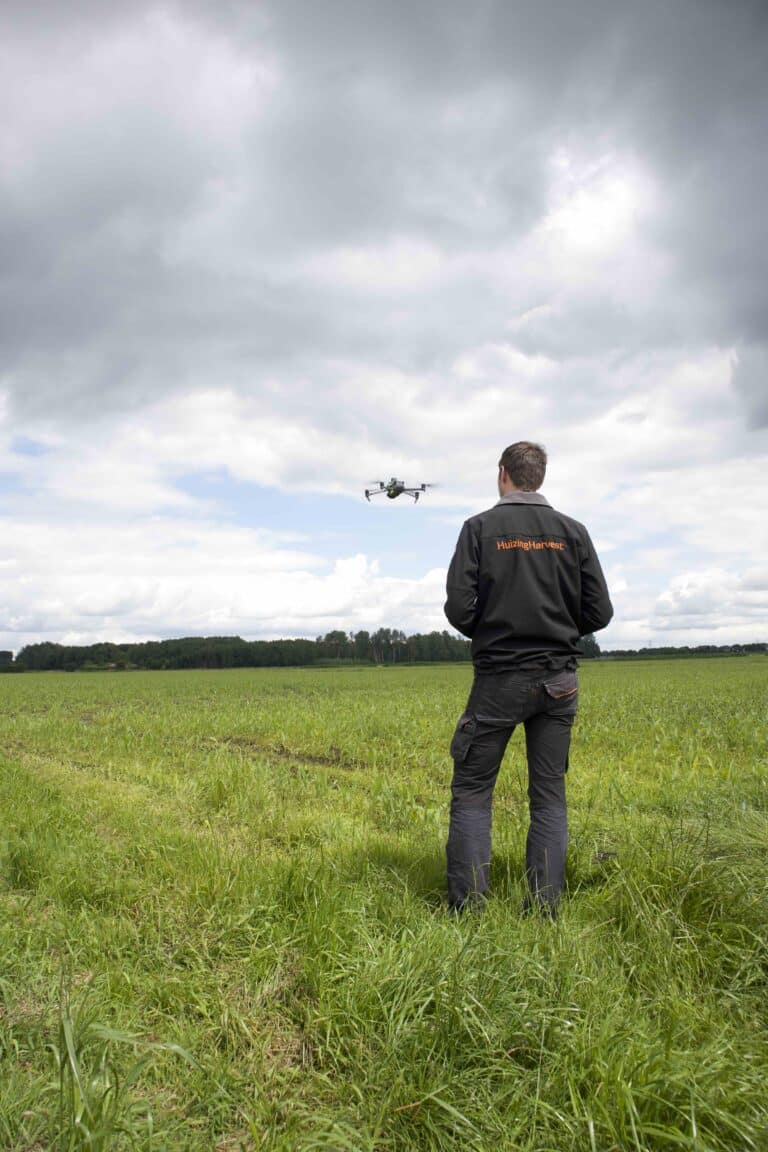
- Drone Flight
Certified drone operators (A1/A3 + A2) take aerial photos of the field. - Photo Analysis
The collected photos are processed by specialised software. - Application Maps
The software company generates application maps based on the analysed photos.
Why choose this drone service?
- Precision
High-quality images ensure accurate application maps. - Efficiency
Optimisation of agricultural resource usage. - Experience
Professional drone operators with the necessary certifications (A1/A3 + A2).
Expertise & services
The drones are used to collect precise and up-to-date data on the condition and use of agricultural land. These images help farmers and agricultural businesses make better-informed decisions about crop management, irrigation, and fertilisation.
Contact
Are you a software company or farmer interested in this service? Contact us for more information.

